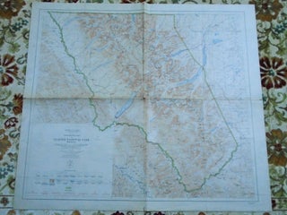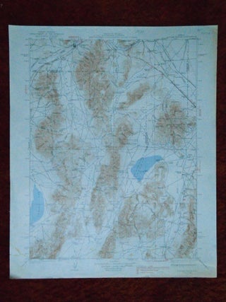
SONOMA RANGE QUADRANGLE, NEVADA, 15 MINUTE SERIES (TOPOGRAPHIC), NW/4 SAN BERNARDINO 15' QUADRANGLE
Washington, DC: United States Geological Survey / USGS / Government Printing Office / GPO, 1939. Map. Color map sheet measuring 20h X 17.5w inches. Surveyed 1931-32. 1939 edition. Contour interval 100 ft.. A very good copy. More