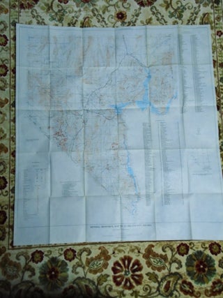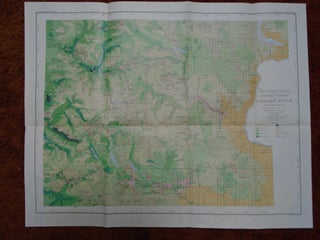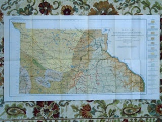
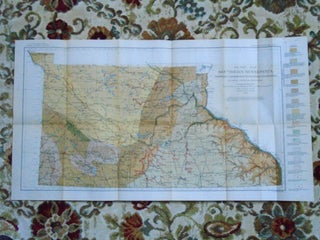
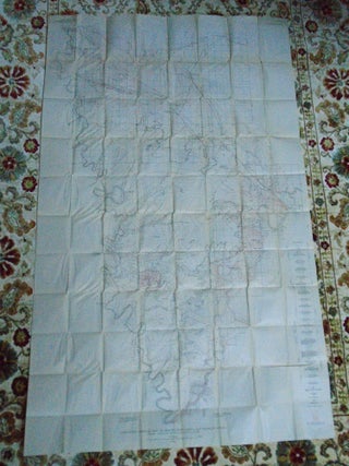
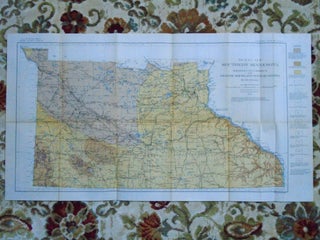
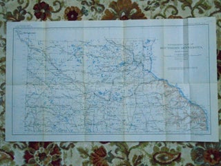
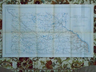
MAP OF SOUTHERN MINNESOTA SHOWING UNDERGROUND WATER CONDITIONS, 1910. PLATE IV OF THE USGS WATER SUPPLY PAPER 256
Washington, DC: United States Geological Survey / USGS / Government Printing Office / GPO, 1910. Map. Color folded map sheet measuring 15h X 27w inches. Topographic contours compiled from railroad levels, maps of the Geographical and Natural History Survey of Minnesota, maps of the Mississippi River Commission, topographic maps of..... More
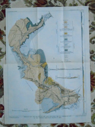
![Item #45673 [MAP PLATES ONLY] GEOLOGY OF POSSIBLE PETROLEUM PROVINCES IN ALASKA; GEOLOGICAL...](https://robertgavora.cdn.bibliopolis.com/pictures/45673.jpg?width=320&height=427&fit=bounds&auto=webp&v=1659157978)