

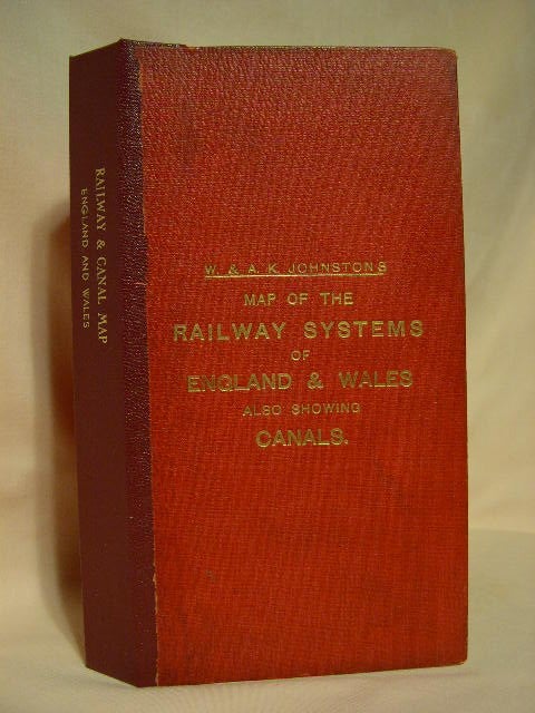
RAILWAY MAP OF ENGLAND & WALES, REVISED BY THE VARIOUS COMPANIES, ALSO SHOWING CANALS
Edinburgh and London: W.&A.K. Johnston Limited [about 1900]. Fifth edition. Hardcover. Item #28527
Case map. Folded linen backed sectional map measuring 50 inches by 42 inches. Railroad routes shown in color. The map, on a scale of eight miles to the inch, shows every passenger station, while enlarged insests show London, environs of London, environs of Liverpool and Manchester, environs of Newcastle, environs of Leeds and Bradford, environs of Birmingham and Wolverhampton, environs of Sheffield and Nottingham, environs of Swansea, District of Cardiff and Merthyr. Bound in original red pebbled cloth with lettering stamped in gild. Professionally rebacked with similar, darker red, pebbled cloth. A very good copy.
Price: $350.00