
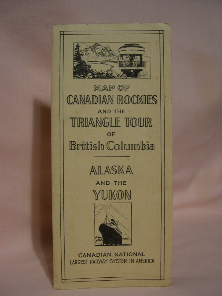
MAP OF CANADIAN ROCKIES AND THE TRIANGLE TOUR OF BRITISH COLUMBIA, ALASKA AND THE YUKON
Montreal: Canadian National Railway, 1931. Folded map. Item #46826
Fourteen panel folded map of the Canadian Rockies, one side the Canadian National Railway system and the other the triangular tour of British Columbia, Jasper National Park, Mount Robson Park, Canadian rockies and the scenic seas of the North Pacific Coast. Canadian Rockies as a tourest destination via the Canadian National Railway. Folded map measures 30 x 17 inches [71 x 43 cm]. Map folded into the original thick cream colored paper covers printed in black with small system map printed on the reverse of the front cover which is dated 12-10-'29. Printing date on the rear cover is 1-'31. The folded color map is dated 10-19-'27 and is fine and bright. The protective covers are near fine but show a little wear.
Price: $95.00