
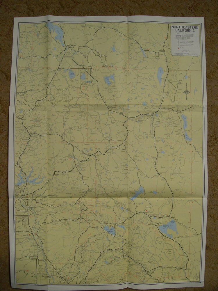
NORTHEASTERN CALIFORNIA, INCLUDING THE COUNTIES OF LASSEN, MODOC, PLUMAS AND PARTS OF THE COUNTIES OF BUTTE, GLENN, SHASTA, SIERRA, SISKIYOU, TEHAMA AND PART OF SOUTHERN OREGON
San Francisco: California State Automobile Association / AAA, 1955. Large folded sheet. Very good plus. Item #49374
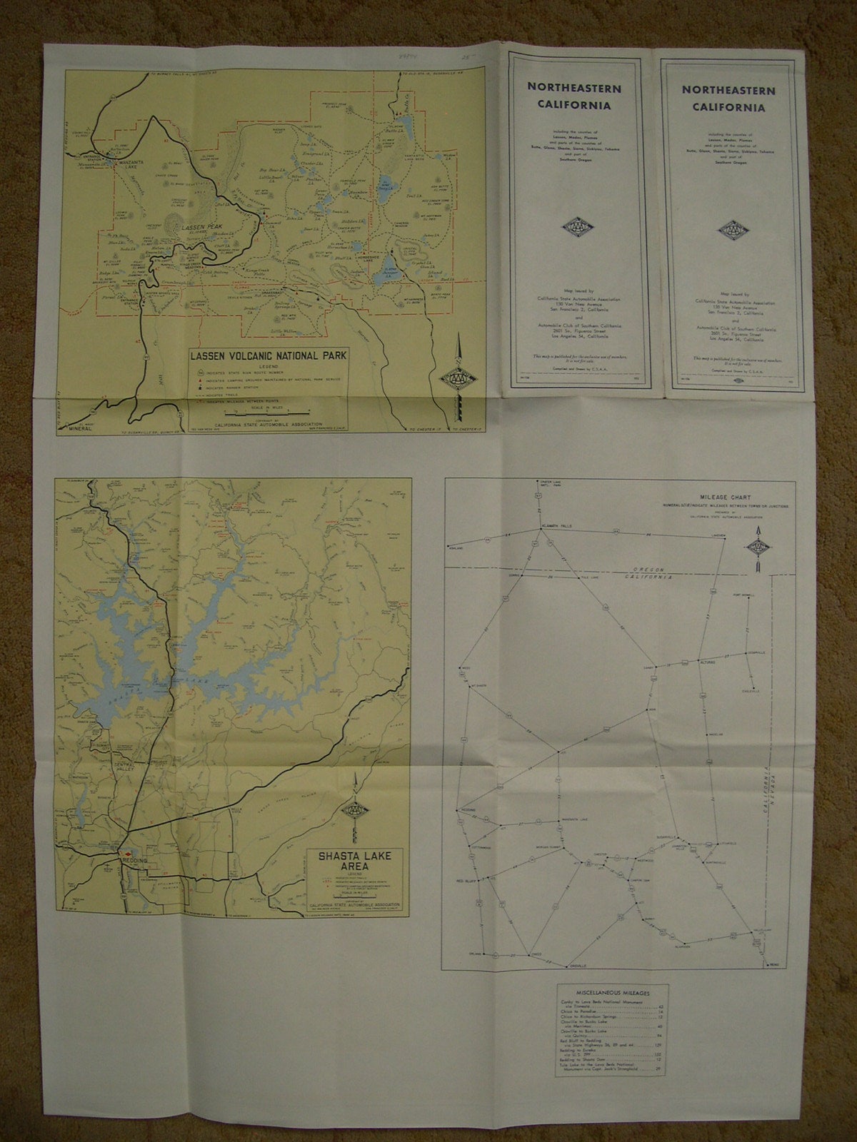
Publication number M-106, 951.Color map meassures 21 x 29 inches. It shows paved roads, gravel and rock roads, and unimproved roads. The reverse list distances and map of Shasta Lake area and Lassen Volcanic National Park. A very good plus copy.
Price: $25.00
See all items in
Maps,
Western Americana