
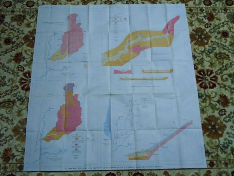
HYDROGEOLOGIC MAPS AND SECTIONS OF SYCAMORE CREEK WATERSHED, MARICOPA COUNTY, ARIZONA. PLATE 1 OF THE USGS WATER SUPPLY PAPER 1861
Washington, DC: United States Geological Survey / USGS / Government Printing Office / GPO, 1968. Map. Fine. Item #52082
Color folded map sheet measuring 40h X 37w inches. Scale 1:125,000. Geology mapped 1957 and 1967. 1968 edition. A fine and bright map.
Price: $20.00