Robert Gavora Fine and Rare Books is on vacation. We are not processing orders until we return.

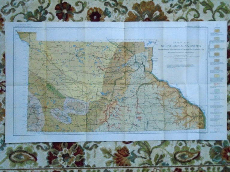
MAP OF SOUTHERN MINNESOTA SHOWING UNDERGROUND WATER CONDITIONS, 1910. PLATE IV OF THE USGS WATER SUPPLY PAPER 256
Washington, DC: United States Geological Survey / USGS / Government Printing Office / GPO, 1910. Map. Fine. Item #52085
Color folded map sheet measuring 15h X 27w inches. Topographic contours compiled from railroad levels, maps of the Geographical and Natural History Survey of Minnesota, maps of the Mississippi River Commission, topographic maps of the U.S. Geological Survey, and field notes. Numerous rail routes are shown, many of which are long abandoned. A fine and bright copy.
Price: $35.00


