

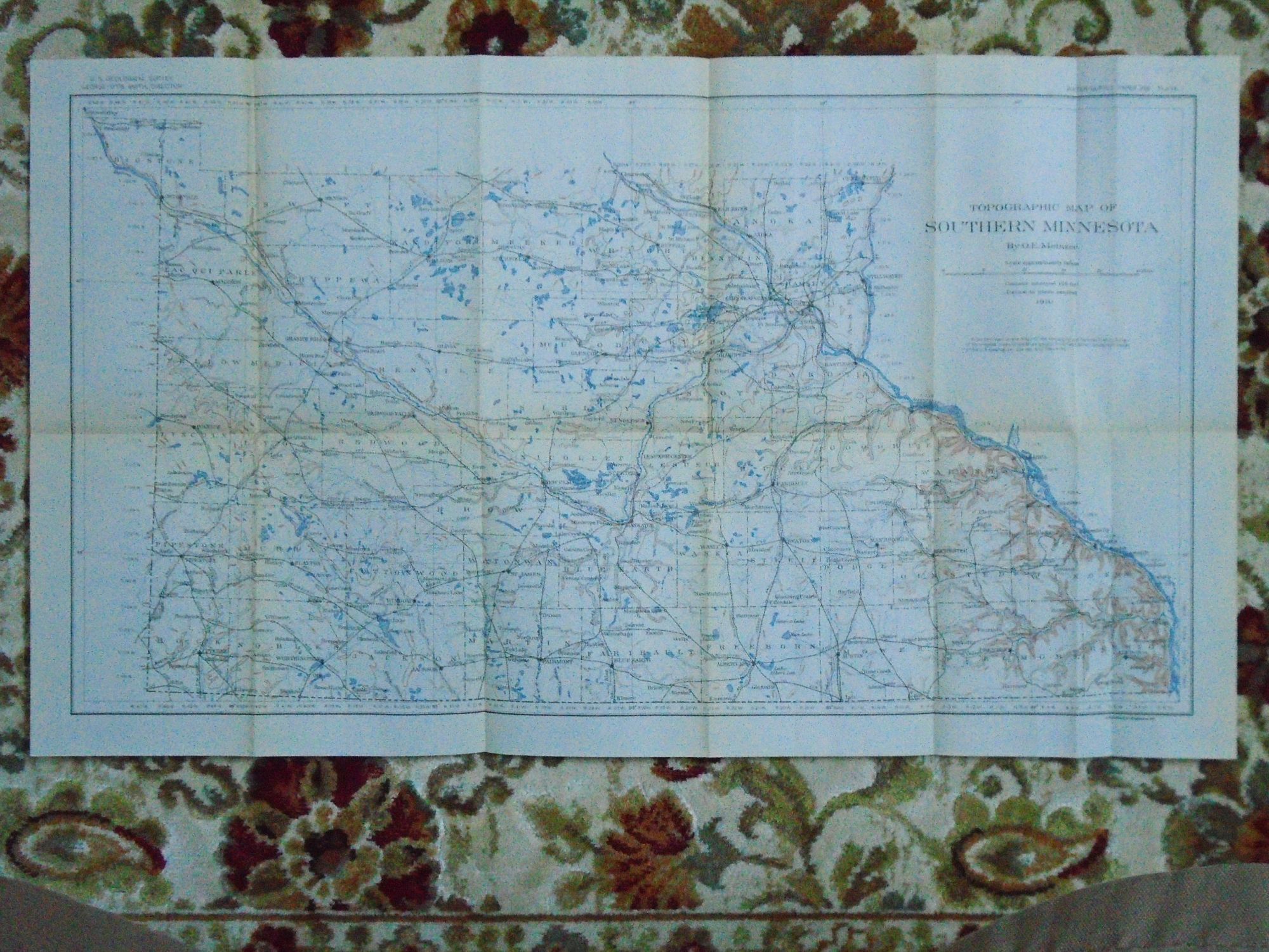
TOPOGRAPHIC MAP OF SOUTHERN MINNESOTA, 1910. PLATE I OF THE USGS WATER SUPPLY PAPER 256
Washington, DC: United States Geological Survey / USGS / Government Printing Office / GPO, 1910. Map. Fine. Item #52090
Color folded map sheet measuring 15h X 26w inches. From railroad levels, maps of the Geological and Natural History Survey of Minnesota, maps of the Mississippi River Survey Commission, topographical maps of the U.S. Geological Survey, and field notes. Numerous rail routes are shown, many of which are long abandoned. A fine and bright copy.
Price: $35.00
See all items by O. E Meinzer