
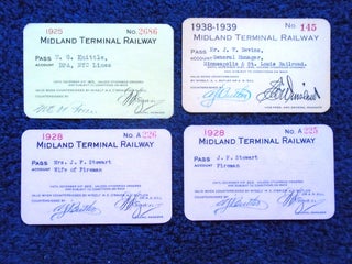
MIDLAND TERMINAL RAILWAY; FOUR RAILROAD PASSES
Midland Terminal Railway Co., 1925. Railroad Passes. Four railway passes for 1925, 1928, and 1938-1939, made out to various names, only one signed on the reverse. Very good or better. More
Midland Terminal Railway Co., 1925. Railroad Passes. Four railway passes for 1925, 1928, and 1938-1939, made out to various names, only one signed on the reverse. Very good or better. More

Washington, DC; about 1919: United States Railroad Administration. Pamphlet. 32 page folded pamphlet extolling the virtues of North Dakota, encouraging farmers to settle there. Many black and white photographs of rural scenes with two page map of the state showing rail lines. Some toning along the fold of the front..... More
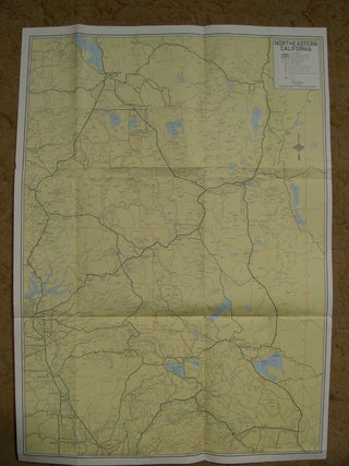
San Francisco: California State Automobile Association / AAA [mid 1950's]. Large folded sheet. Publication number M-106, 951.Color map meassures 21 x 29 inches. It shows paved roads, gravel and rock roads, and unimproved roads. The reverse list distances and map of Shasta Lake area and Lassen Volcanic National Park. A...... More
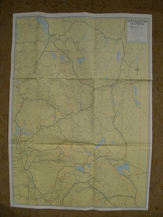
San Francisco: California State Automobile Association / AAA [mid 1950's]. Large folded sheet. Publication number M-106, 951.Color map meassures 21 x 29 inches. It shows paved roads, gravel and rock roads, and unimproved roads. The reverse list distances and map of Shasta Lake area and Lassen Volcanic National Park. A...... More
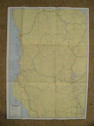
San Francisco: California State Automobile Association / AAA [mid 1950's]. Large folded sheet. Publication number M-107, 9521.Color map meassures 19 x 28 inches. It shows paved roads, gravel and rock roads, and unimproved roads. The reverse list distances and map of Shasta Lake area and Main Redwood Grove area. A...... More
Salem, OR: State of Oregon/State Printing Department, 1958. Plastic comb binding. Lists elected officials, state government, general infromation, departments, county, city and U.S. government. 448 pages with large folded state map in the rear. Original plastic comb binding with illustrated blue stiff paper covers. Four initials on the inside front..... More
Salem, OR: State of Oregon/State Printing Department, 1958. Soft cover. Lists elected officials, state government, general infromation, departments, county, city and U.S. government. 448 pages with large folded state map in the rear. Bound in original illustrated blue stiff paper covers. A very good copy. More
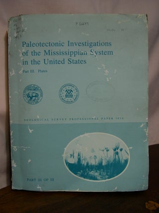
Washington, DC: United States Geological Survey/USGS/Government Printing Office/GPO, 1979. Soft cover. All plates present except number 10. There are two plate 11s. Rear cover detached. All maps fine, though covers are good only. More
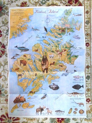
Kodiak, AK: Harold Ward and Associates [mid 1960s]. Ilse Reimnitz. Map. Color illustrated map of Kodiak Island with advertisements on the reverse. 28.75 h x 19.5 w. Fine. More
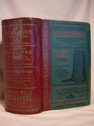
Portland, OR: R.L. Polk & Co., Publishers, 1930. Hardcover. "Containing an alphabetical directory of business concerns and private citizens, a directory of householders, office buildings and business places, including a complete street and avenue guide, and much information of a miscellaneous character." A thick book of 2538 pages with an..... More
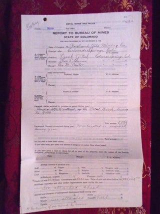
Colorado Bureau of Mines, 1918. Brad bound. Annual report for 1924 submitted to the Bureau of Mines stating officers, oz. of gold sold, crude ore sold, labor data, leases granted, etc. Four pages, two legal sheets, and two pages on two legal sheets. All four sheets bound with a single..... More
Chicago: Chapman Publishing Company, 1904. First edition. Hardcover. Biographies of many of the Oregonians who have contributed to the development and progress of Western Oregon. 1033 pages illustrated with numerous photographs of the prominent individuals, plus index. Smith: Pacific Northwest Americana 8308. Bound in original black leather with bevelled edges..... More
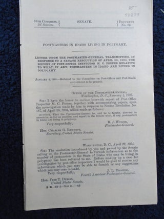
Washington, DC: Government Printing Office / GPO, 1904. Loose pages. Pulled document. 19 pages. Includes affidavits from postmasters. Very good plus condition. More
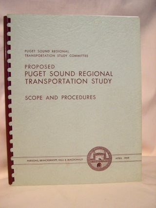
New York: Parsons, Brinckerhoff, Hall & MacDonald, Engineers, 1962. Plastic comb binding. Study presented to the Puget Sound Regional Transportation Study Committee, April 15, 1959. The purpose of the report was to disclose and measure the region's transportation problems, and to formulate the scope and estimate the cost of a...... More
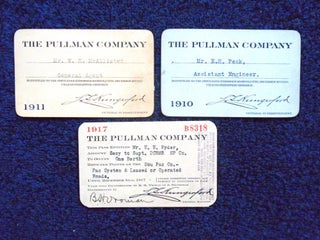
Pullman Company, 1910. Railroad Passes. Three railway passes for 1910, 1911, and 1917, made out to various names, two signed on the reverse. Very good or better. More
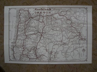
Seattle, WA: Edw. W. Pulver Map Co. [no date, about 1930]. Folded sheet. Folded highway map of Oregon showing paved roads, rock or gravel surfaced roads, other roads, towns and cities and the mileage between them. Map printed in brown measures 16 x 10.5 inches. The reverse has a tourest..... More
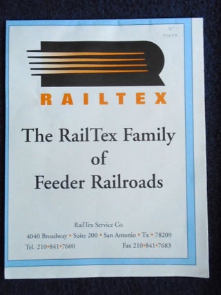
San Antonio, TX: RsilTex Service Co. / DeskMap Systems Inc., 1996. Map. Map of the United States showing the feeder lines owned and operated by RailTex. Map measures 49 x 30 inches. A fine copy. More
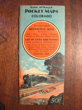
Chicago, IL: Rand McNally & Company, 1937. 1937 edition. Pamphlet. 1937 folded auto map of Colorado. "Complete indexed reference map showing all cities, towns, counties, railroad, electric line, waterways and physical features; List of cities and towns with complete populations; Index locates all places on the map, indicates freight, express..... More
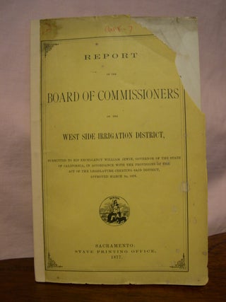
Sacramento, CA: State Printing Office, 1877. Paper covers. 109 pages with transmittal of the report to the governor, letters from individuals, the engineer's report, plan of proposed canal, tables, etc. Bound in original yellow paper covers printed in black. Large corner chip to the front cover. Spine backed with yellow..... More
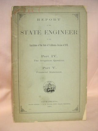
Sacramento, CA: State Office, 1881. Printed wrapper. 48 pages. Covers chipped at corners and spine ends. Interior pages near fine. Overall, a very good minus copy. More
Berkeley, CA: Division of San Francisco Bay Toll Crossings/Department of Public Works/State of California, 1951. Soft cover. An engineering report on the feasibility of financing and constructin a toll bridge or other toll highway crossing between the Counties of Marin and Contra Costa. 233 pages printed rectos only with numerous..... More
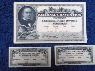
Peoria, IL: Space Study Unit [1978-1979], 1912. Card stock. Entrance K, Section 10, Fourth Day Only. "The party nominated President William H. Taft and Vice President James S. Sherman for re-election for the 1912 United States presidential election. Sherman died days before the election, and was replaced as Republican vice-presidential..... More
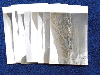
1910. Postcard. Seven photographic postcards of damaged track and bridge. On February 13, 1910 water from the foothills near Bailey's damaged five miles of track. Two weeks later, the Reese River on a rampaged took the entire line leaving Battle Mountain Yard with untold damage. The line reopened on May..... More
San Francisco: David Henderson [1976]. Folded sheet. Poem celebrating the independance of Mexico, limited 125 copies. Folded twice. A keepsake presented to the Zamoranistas and Roxburghers. A fine copy. More
San Francisco: State of California/Department of Public Works/Division of San Francisco Toll Crossings, 1954. First edition, first printing. Soft cover. 131 pages with photographs, maps, charts, diagrams and illustrations. Chapters include History, Legislation, Court Decisions, Planning, Surveys and Triangulation, Design, Construction, Contracts, and Financial. A fine and bright copy. More