
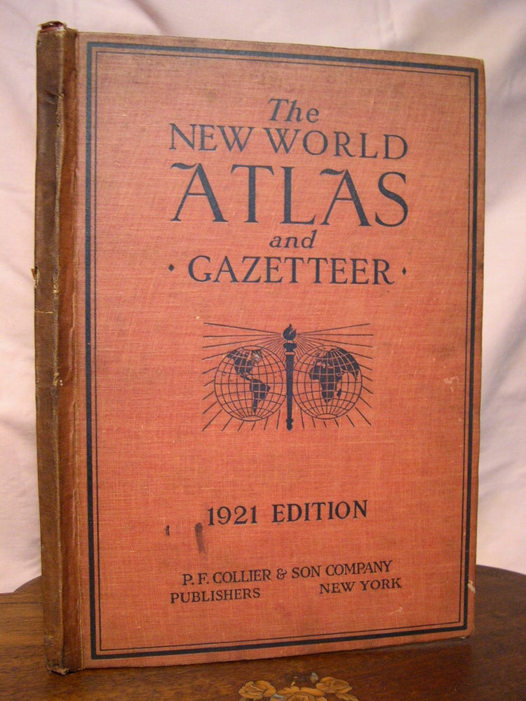
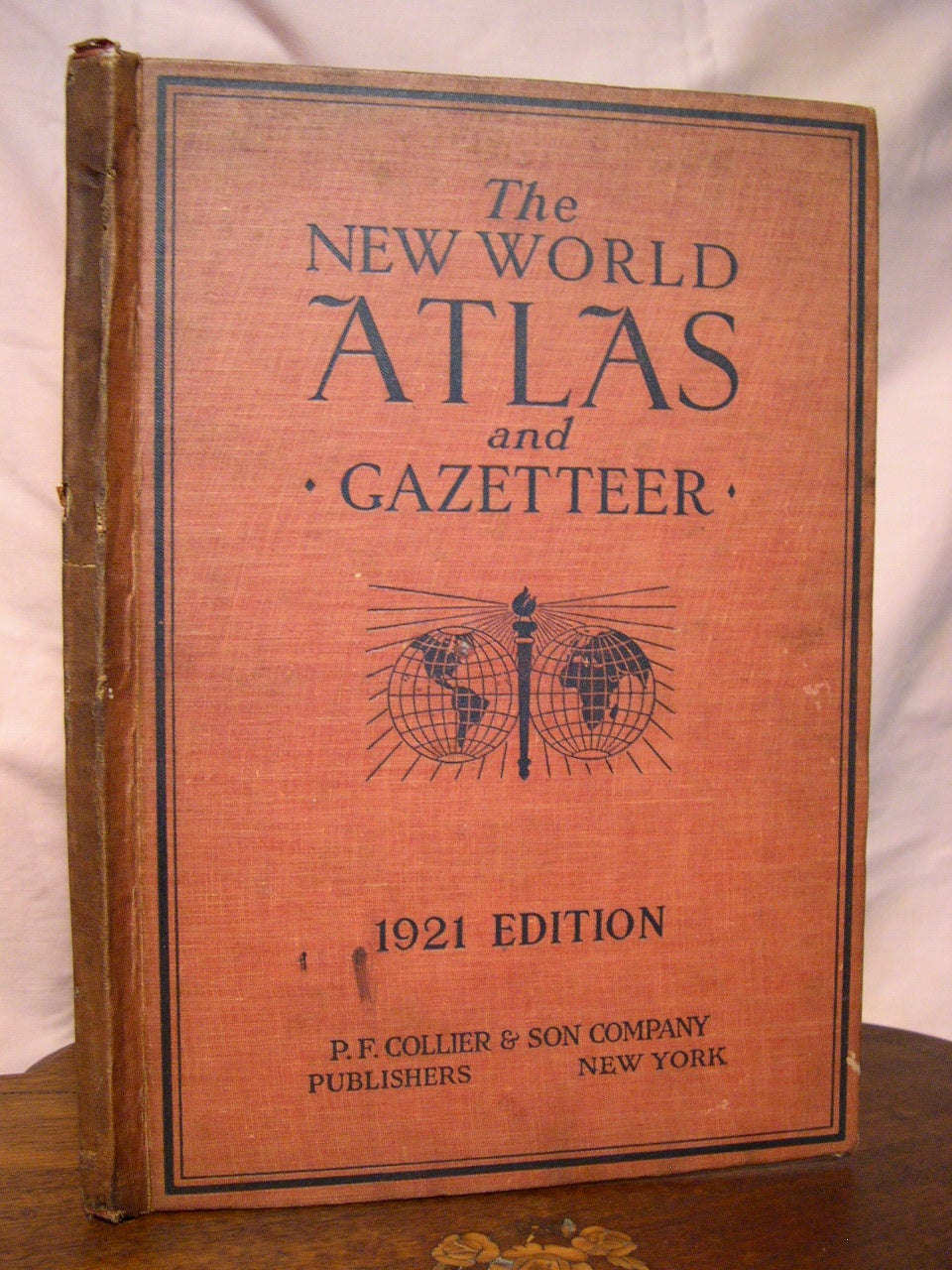
THE NEW WORLD ATLAS AND GAZETTEER, 1920 FEDERAL CENSUS EDITION
New York: P.F. Collier & Son Company, 1921. 1921 edition. Hardcover. Item #42961
New population statistics of federal census of 1920 of all states and territories, of all cities and towns of the United States; world maps revised to 1921; new maps showing new boundaries of all foreign states and their dependencies based upon the terms of the treaty of peace, Paris, 1919; new maps of each state of the United States, including their newly organized counties and other boundary changes to 1921; new Canadian maps; physical and commercial analysis of United States and Canada; analysis of all countries of the world; illustrated gazetteer of cities and towns of the world; and gazetteer of American railroads. 272 pages of full page color maps and illustrated text. Most maps show railroad routes. Frontis consists of a foldout map of the United States and on the reverse a map of the world. Second foldout is a map of Canada. Bound in original red cloth with lettering and border printed in black. Smoke darkening to the spine, the edges of the rear cover, and to the edges of the text block. Pages are without any smoke darkening. Spine ends built up. A very good copy.
Price: $95.00